

103 Oban Street, Glenorchy, Queenstown-Lakes
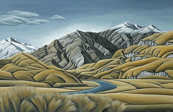
In 1990, Mt Aspiring National Park became part of the 2.6 million hectare Te Wahipounamu, ‘The Place of Greenstone’, World Heritage Park. Wanaka is one of the gateways to the Park, which straddles the southern end of the Southern Alps. It is 140 km long and 40 km wide at its widest point. Ancient glaciers carved a 4-sided pyramid to form Mt Aspiring, at 3,027m, the highest mountain outside the Mt Cook region. The Park has 13 peaks over 2000m and about 100 glaciers. The West and East Matukituki Valleys, which dissect high mountain ranges, were also carved out by glaciers.
Mt Aspiring National Park is known as a walker's paradise and a 'must' for mountaineers. The Routeburn is the best known but not the only good tramping track in the park, while short walks are plentiful at access road-ends and around the local towns, such as Wanaka, Queenstown, Glenorchy and Te Anau. Its alpine areas are home to the rock wren (a threatened species) and a mischievous parrot, the kea. The Routeburn Track is one of the 'Great Walks'.
Rifleman, fantail, tomtit and bellbird live in the forest and, among the red beech, parakeets are common. On the river flats you will hear the raucous cries of paradise ducks and see the distinctive pair of birds - the female with a white head, the male with a black one. Spur wing plovers, an Australian species, are also common in the river beds.
Towards the west, where the rainfall is high, beech forests climb from the valleys and snow tussock grasslands flourish above the bushline. Deer are still found on the lower slopes of the mountains and in the bush; chamois and thar are in such plentiful numbers on the upper slopes that they’re considered a pest and hunters are encouraged to reduce their numbers because of the damage they do to endangered plants. They also add to the risk of erosion by eating the vegetation that holds the thin soils together.
ROUTEBURN VALLEY GUIDED DAY WALK
Nearby this Place
Featured Nearby


