
227 Hooker Valley Road, Aoraki/Mount Cook, Mackenzie
A popular walking track providing easy access to to the wilderness and taking 2 - 4 hours return, depending on how far you go.
This is an opportunity to get deep into the mountains on a flattish track. Enthusiasts can don their costumes and swim with the ice bergs in the Hooker Glacier terminal lake! Start at the White Horse Hill carpark and camping area. Spectacular views, the adventure of crossing two swing bridges over rushing torrents and mountain flora make this a walk not to be missed.
A little way along the track on the left, you come to a path leading to a stone cairn memorial for climbers claimed by these mountains. It originally commemorated three men who died on the Linda Glacier ( the most common route up Mt Cook) in 1914. Sadly, other names have been added over the years. A wide track, but stony, - wear thick-soled shoes or boots - leads over moraine covered with spiky matagouri and Spaniard bushes.
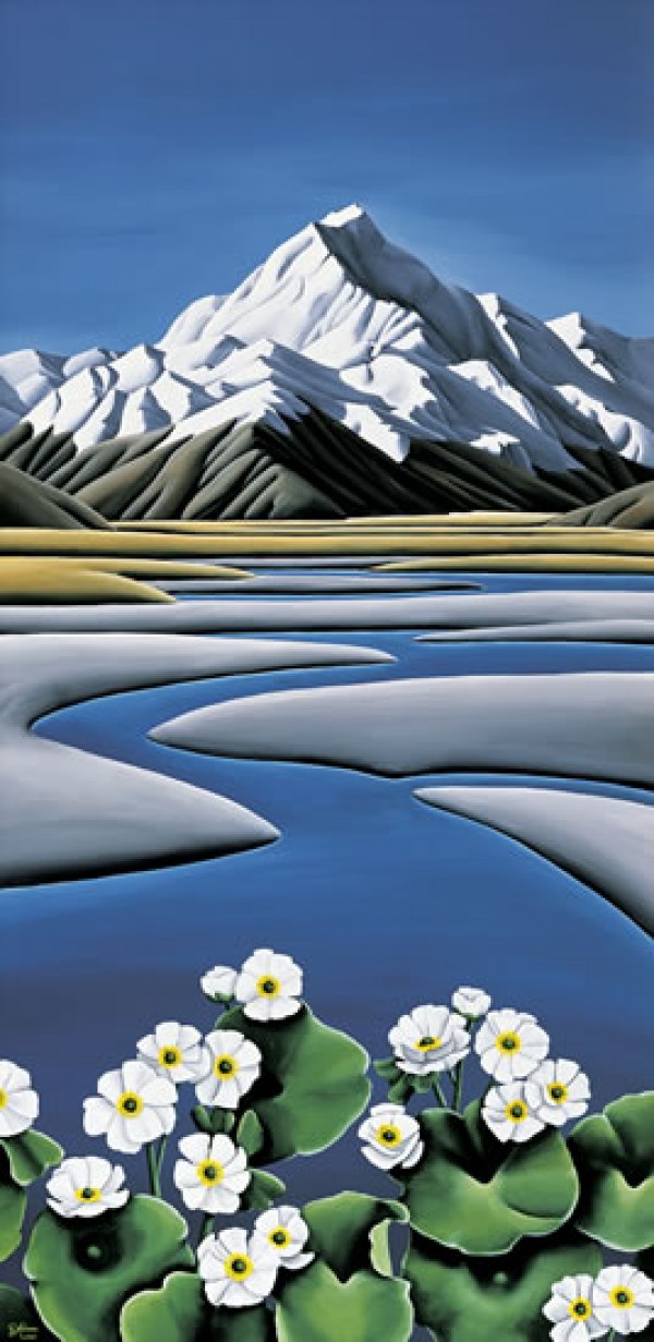
After about 30 minutes you reach the first swing bridge over the turbulent, grey Hooker River. As you progress up the valley you get superb views of Mt Sefton and its Footstool on your left; ahead of you Mt Cook’s south face dominates the end of the valley. The path narrows as it skirts a bluff just before you cross the second swing bridge which can sway excitingly, or, for some people, alarmingly in a strong wind. The walk continues along glacier flats among alpine plants: in late spring and early summer, gentians and Mt Cook lilies are a wonderful sight. At Stocking Stream Shelter (and toilets), there’s a plane table identifying surrounding mountains
A further short walk takes you to Hooker Lake at the snout of the glacier.
Here it’s Antarctica in miniature, with big chunks of ice floating like icebergs in the lake. For further guidance listen to the Audio Guide.
The Hooker Lake setting provides insights into the changing glacial landscape.
Image Credits: NomadicBuzz
Nearby this Place
Featured Nearby
Featured Nearby


